0
0
0
0
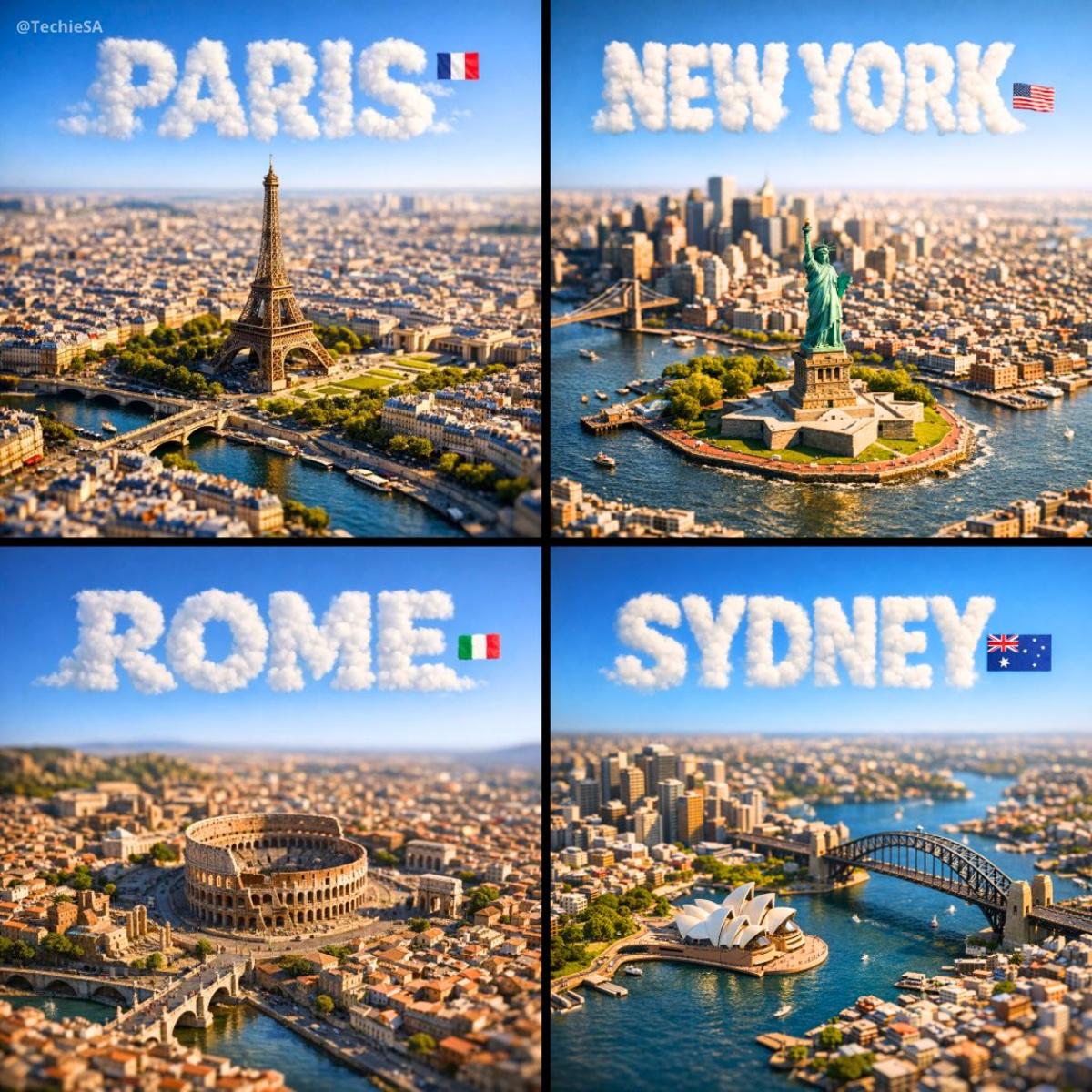
#Illustration & 3DGGPT-Image-2
A square, 1:1 photorealistic close-up photograph of an incredibly detailed physical miniature geography and city model of [CITY], focused only on the city’s most recognizable landmark area (not the full city map).

The scene shows a compact 3D topographic environment built around the iconic landmark zone — realistic terrain, elevation changes, nearby rivers or coastline if relevant, and surrounding urban density scaled naturally to highlight the landmark as the clear focal point. The model feels like a premium museum diorama rather than a map.

Thousands of tiny, highly detailed buildings, roads, bridges, and infrastructure cluster organically around the landmark. The landmark itself rises prominently above everything else, instantly recognizable even at a glance.

Strong natural side sunlight casts long, realistic shadows across the miniature terrain, enhancing depth and realism. Shallow depth of field (tilt-shift style) keeps the landmark zone sharply in focus while softly blurring the outer edges of the square frame. The entire scene appears as a tangible, physical model illuminated by real-world light.

Above the city, the sky is perfectly clean and empty — no clouds at all — except for the city name.

The name [CITY] appears integrated into the sky as thick, three-dimensional cloud typography, sculpted from dense white vapor. The letters are bold, volumetric, and clearly readable, with soft shadowing and subtle depth, floating naturally in the open sky. Opacity ~70%, but with enough thickness to remain instantly legible.

A small, minimal national flag is placed subtly near the sky text (corner or aligned to the typography), balanced and unobtrusive.

Format: Square 1080×1080
Style: Ultra-photorealistic, cinematic, premium miniature realism
Mood: Awe, clarity, instantly recognizable, highly shareable
参数
GGPT-Image-2
1:1
○○○○○
—
—
—
Comments
to join the conversation